The SacRT Safe Routes to Transit (SR2T) Plan is a countywide planning effort funded by a Caltrans Sustainable Communities grant that aims to improve the safety of people walking, biking, and rolling to transit. We need your feedback to help identify the most needed improvements!
The online interactive map is now closed. For more information, visit www.sacrt.com/SafeRoutes.
Legend
Note: Each layer can be turned on and off by clicking this symbol  in the top left corner of the map
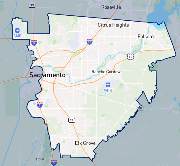
The dark blue boundary line shows the SacRT service area
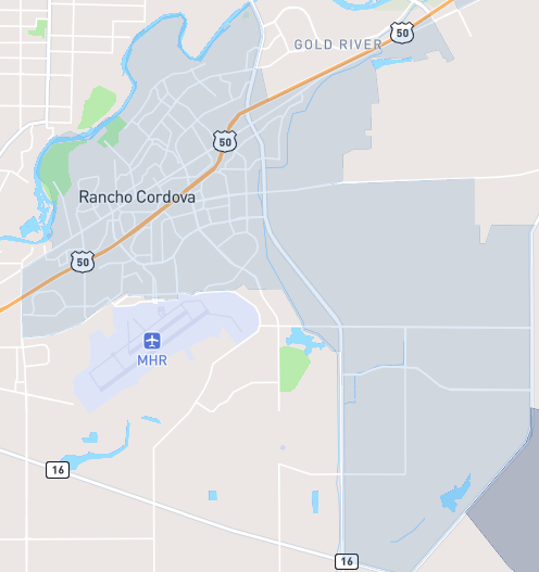
Light blue areas shows city boundaries (Citrus Heights, Elk Grove, Folsom, Rancho Cordova, and Sacramento)
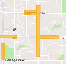
Yellow highlighted areas show priority locations for safety improvements as identified through crash data
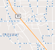
Blue dots indicate bus stops
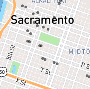
Black dots indicate light rail stations


